Welcome To
Best GIS training institute in Bangalore. Best GIS Training institute in Delhi,GIS and remote sensing training Assam, northeast, Meghalaya, Shillong, Dimapur, Nagaland, Arunachal Pradesh. Remote sensing courses in Delhi, Remote sensing and GIS courses in Bangalore. Online Arc GIS Certificate Training in Bangalore. GIS Training in Bangalore. Best remote sensing and gis institute in North East
Best GIS training institute in Bangalore. Best GIS Training institute in Delhi,GIS and remote sensing training Assam, northeast, Meghalaya, Shillong, Dimapur, Nagaland, Arunachal Pradesh. Remote sensing courses in Delhi, Remote sensing and GIS courses in Bangalore. Online Arc GIS Certificate Training in Bangalore. GIS Training in Bangalore. Best remote sensing and gis institute in North East
Leading Global GIS Training Provider / Learn GIS To Make Better Decisions
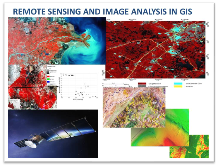
Become a Master of Spatial Science Technology / Geographic Information System (GIS) / GIS Database Management (GDB) / Remote Sensing / Web GIS / Photogrammetry / Python for GIS/ GIS 24*7 Online / Open Source GIS / Geo Spatial Data Science / Satellite Imagery Analysis / 3D Mapping / Earth Data
Use Geographical Information System Technology (GIS) for project analysis, better decision making, career development, research and skill development. Learn to solve real time ground issues by working on high frequency geospatial data, project based exercise modules for providing industry solutions.
Join our real-time GIS classes with certified GVI Instructors.
Request Training

Duration: 1 Month
Mode: Online with Instructor
Duration: 15 Days
Mode: Online with Instructor
Duration: 6 Months
Mode: Online with Instructor
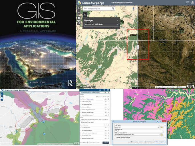
Geographic Information Systems (GIS), field-specific training plays a crucial role in equipping professionals with the knowledge and skills needed to excel in their respective domains. While GIS has broad applications across various industries and sectors, specialized training that focuses on specific fields offers several distinct advantages.
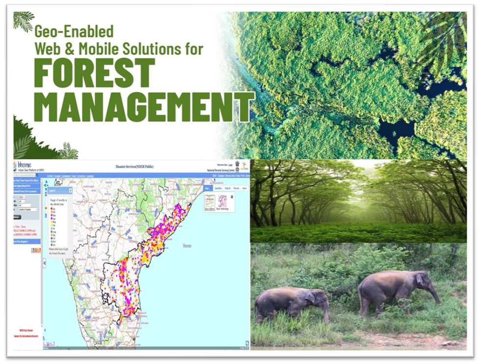
Field-specific GIS training offers numerous advantages for professionals seeking to excel in their respective industries or domains. By tailoring the training content to the specific needs, challenges, and applications of a field, professionals gain targeted knowledge, industry insights, and practical skills that directly enhance their effectiveness and efficiency. Whether it is urban planning, environmental management, transportation, or any other field, specialized GIS training equips professionals with the tools and expertise they need to make a significant impact in their domain and advance their careers.
Join Us and Get Trained in Advanced Geo Spatial Data Analysis, Skill Development Training, Future Career Development Course. Get a Chance to Work on Research & Development Projects for Hands on Work Experience.
Contact Us
We’re here to help! Feel free to reach us:
Contact: +91-991-630-2284 (IND)
Support: Our support team is available to assist you with any inquiries or issues you may have. We’re committed to providing timely and helpful responses to ensure your satisfaction.
For any queries email us
Email address: gisvisionindiamail@gmail.com

