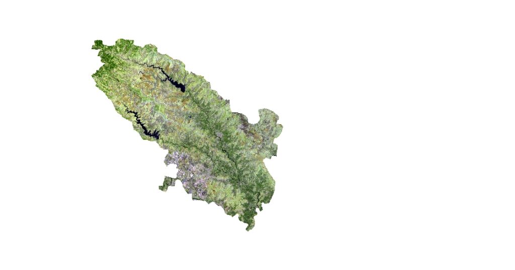
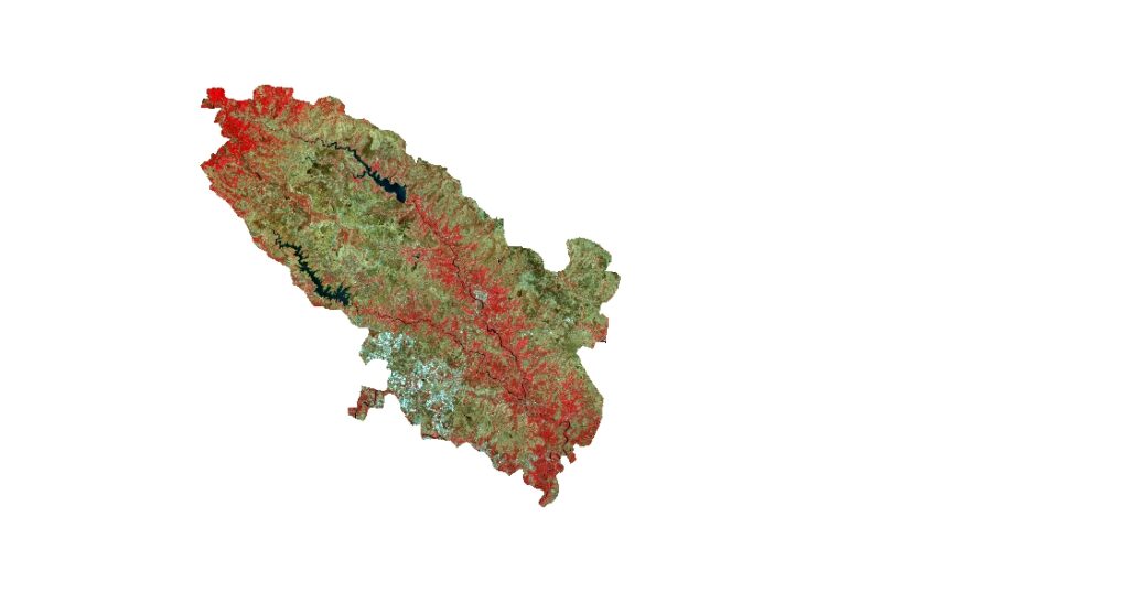
The Modified Normalized Difference Water Index (MNDWI) is a spectral index used to map water bodies from remote sensing data. It is based on the differences in the near-infrared and shortwave infrared bands, which are sensitive to water absorption and reflection.
To calculate the MNDWI for Pune, we would need remote sensing data, such as Landsat or Sentinel-2 imagery. The MNDWI formula is as follows:
MNDWI = (Green – Mid-IR) / (Green + Mid-IR)
where Green is the reflectance in the green band, and Mid-IR is the reflectance in the mid-infrared band.
To apply this formula to the remote sensing data of Pune, we would need to first preprocess the data to extract the green and mid-infrared bands, and then apply the formula to generate an MNDWI image. The resulting MNDWI image would show areas of high water content as dark pixels, and areas of low water content as bright pixels.
The MNDWI can be used to map water bodies, monitor changes in water content over time, and support water resource management and environmental planning.