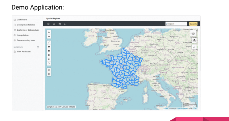
A web geo portal for land management system is a digital platform that allows users to access and manage land-related data and information through a web-based interface. This type of portal provides a centralized location for storing, sharing, and analyzing land-related data, making it easier for land managers, planners, and other stakeholders to access and use this information in their work.
A web geo portal for land management system typically includes a range of features and functions, such as:
-
Data management: The portal allows users to store and manage land-related data, such as land use, land cover, topography, and property boundaries.
-
Data visualization: The portal provides tools for visualizing land-related data, such as maps, charts, and graphs, which can help users to better understand patterns and trends in the data.
-
Data analysis: The portal allows users to perform spatial and statistical analyses on land-related data, such as calculating land use change over time or identifying areas of high conservation value.
-
Collaboration: The portal enables users to collaborate with others on land-related projects, such as sharing data and analysis results or coordinating planning efforts.
-
Reporting: The portal provides tools for generating reports and presenting data in a clear and concise manner, which can be useful for communicating results to stakeholders and decision-makers.
Overall, a web geo portal for land management system provides a powerful tool for managing and analyzing land-related data, which can help improve land use planning, conservation, and management efforts.
Contact us for information. +91-9916302284