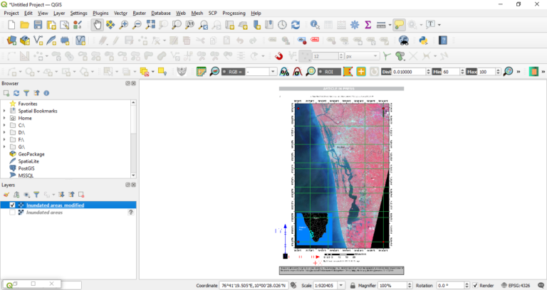

A shapefile is a commonly used geospatial vector data format for storing geographic features in a set of related files. It was developed by ESRI (Environmental Systems Research Institute) and is widely used by GIS software applications.
A shapefile is composed of several individual files, including a .shp file, which contains the spatial geometry data of the features, a .dbf file, which contains the attribute data of the features, and several other files, including an optional .shx index file, and projection and metadata files.
Shapefiles can store point, line, and polygon features and associated attributes, such as the name, type, or other relevant information about the features. They can also store metadata, which provides additional information about the dataset, such as the source, author, and date of creation.
Shapefiles are widely used for a range of GIS applications, including mapping, spatial analysis, and data sharing. They are supported by many GIS software applications, making them a versatile and interoperable format for storing and sharing geospatial data. However, shapefiles have some limitations, including a maximum size of 2 GB, a lack of support for Unicode characters, and the inability to store topology or network data.
