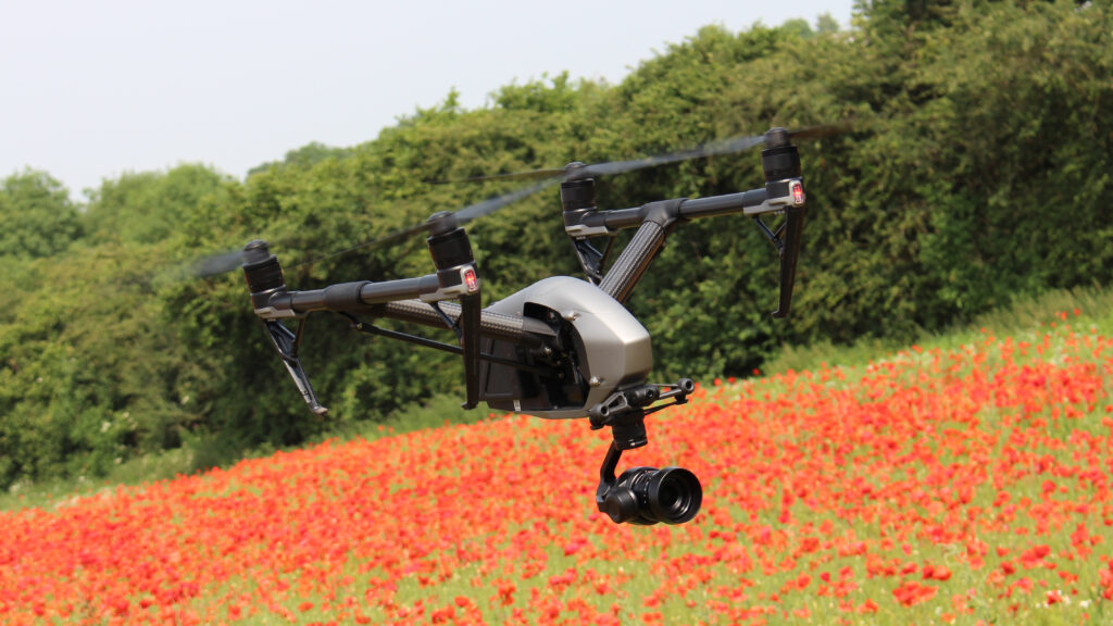
GVI® provides the best and affordable drone mapping and drone survey services in entire northeast region. Our team have high class equipments like rtk based drones for accurate ground control positioning along with high accuracy GNSS and DGPS receivers to obtain the most accurate data needed for project analysis. Our team will travel to the site understand the work plan, do the site survey plan and get the most accurate data possible. Post surveying our team will get back the survey data to our back end office and start the post data analysis work.
We are one of the best gis mapping company in Assam & Northeast. We are specialised in surveying and post data processing for various clients across northeast.
Types of Survey we Offer
“Navigate with Confidence: Unleashing the Power of Land Surveying”
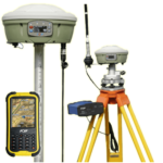
DGPS Survey
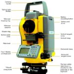
Total Station Survey
Drone Survey
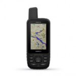
GPS Survey
Questionnaire Survey
Harnessing the Latest Surveying Tools for Unmatched Data Accuracy.
We take pride in our team of highly skilled surveyors equipped with the latest surveying tools. Our unwavering commitment to excellence ensures that we deliver the most accurate and reliable data. With our state-of-the-art equipment and expert surveying techniques, we go above and beyond to capture every intricate detail, providing you with the precise information you need to make informed decisions.
At GVI, we are committed to providing you with the best possible support and assistance. Our Help Centre is designed to help you find answers to your questions, troubleshoot issues, and get the most out of our products and services.
Our dedicated support team is here to assist you. If you need personalised help or have specific questions, please reach out to us through one of the following channels.