Services
- River Management
- Geoinformatics and Spatial Database Management
- River Management
- Disaster and Risk Management
- Climate Change
- Nature Conservation and Ecosystem Restoration
- Information Technology and Database Restoration
- Research Capacity Building and Training
- Advantages of Drone Based Mapping
- Socio Economic and livelihood Management
- Agriculture, Livestock and Fisheries Management
- Urban Development- Road/Railways/ Traffic Conditions/ City Development etc.
Research Capacity Building and GIS Training
Training creates skill and knowledge that supports the development of new ideas and creation of solutions to problems. Training is always essential for building of capacity and expertise in a particular field. Development and training are the most components of any project execution.
Our Team of GIS experts provide training and teaching in such a way that he professionals needs are fulfilled as per their requirements. GVI® has well organised research development and training programs for all fields where GIS technology is applied. We primarily focus on the development of new tools , approaches, applications, methodology to solve problems. Some of the tools and models developed under different projects through detailed research are as follows
Flood Susceptibility Mapping using GIS-AHP: Periyar Basin
Determination of Land Use/Land Cover and Land Surface Temperature and Identifying Urban Heat Islands in New Delhi.
- River Erosion Prediction tool
- Flood Forecasting Tool For Community Survival
- Flood Inundation Modelling
- Urban Water Distribution under Jal Jivan Mission. A national Scheme by Government Of India
- Agriculture Crop Model
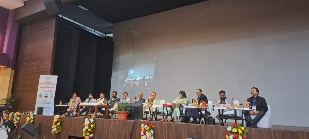
National Symposium cum workshop on Springshed Management

