GIS AND REMOTE SENSING COURSES FOR GROUND APPLICABILITY FOR NORTHEAST REGION.
Gis Vision India provides the top notch courses on gis and remote sensing across india. Over the years we have trained hundreds of students and professionals across the north east who have been successfully placed across various government and private organisation in India. Our specialised courses designed for industry sets us apart from any other organisation.
Our gis training courses are based on actual real time ground based projects where students and trainees can benefit themselves by working on real time data. It has been generally observed that other institutes offering gis training courses are based out of pre set data which generally has no relation to ground truthing. This is where gis vision india team provides training on resources which has been actually collected from ground based survey work.
Students can work on drone based surveys and collect real time ground dat using the real time data collected and apply gis mapping technology to execute the same.
How to reach us for attending a gis training.
Candidates interested to learn gis mapping technology can reach us via a telephone call or by email. Our head office is located in the heart of the city Super Market, Dispur, Guwahati. We conduct both online and offline regular classes at our guwahati facility. Interested students from various academic streams like geography, geology, environmental science, disaster management, civil engineering etc. can reach us and learn more about gis and drone mapping technology. Training sessions are conducted throughout the year every month on specialised subjects. Contact us to know more.
- Basic to advanced level.
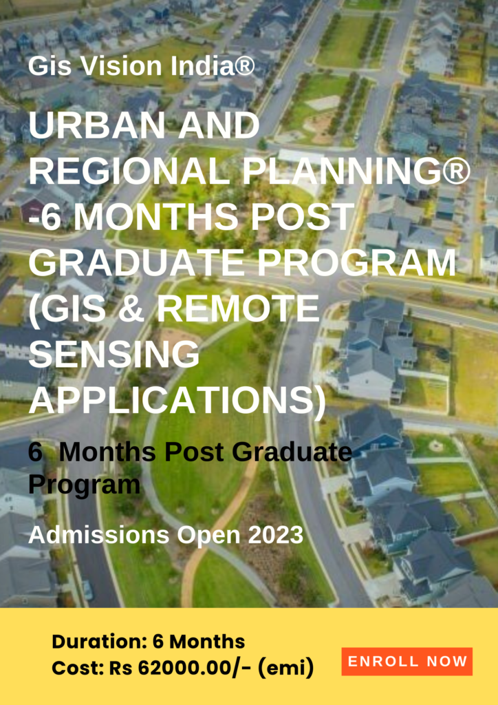
- Town and country planning models using gis.
- GIS Based master planning and designing models .
- Infrastructure planning with gis.
- Smart city models using gis.
- Urban and Rural Disaster management plans.
- Spatial analysis in site selection and modelling.
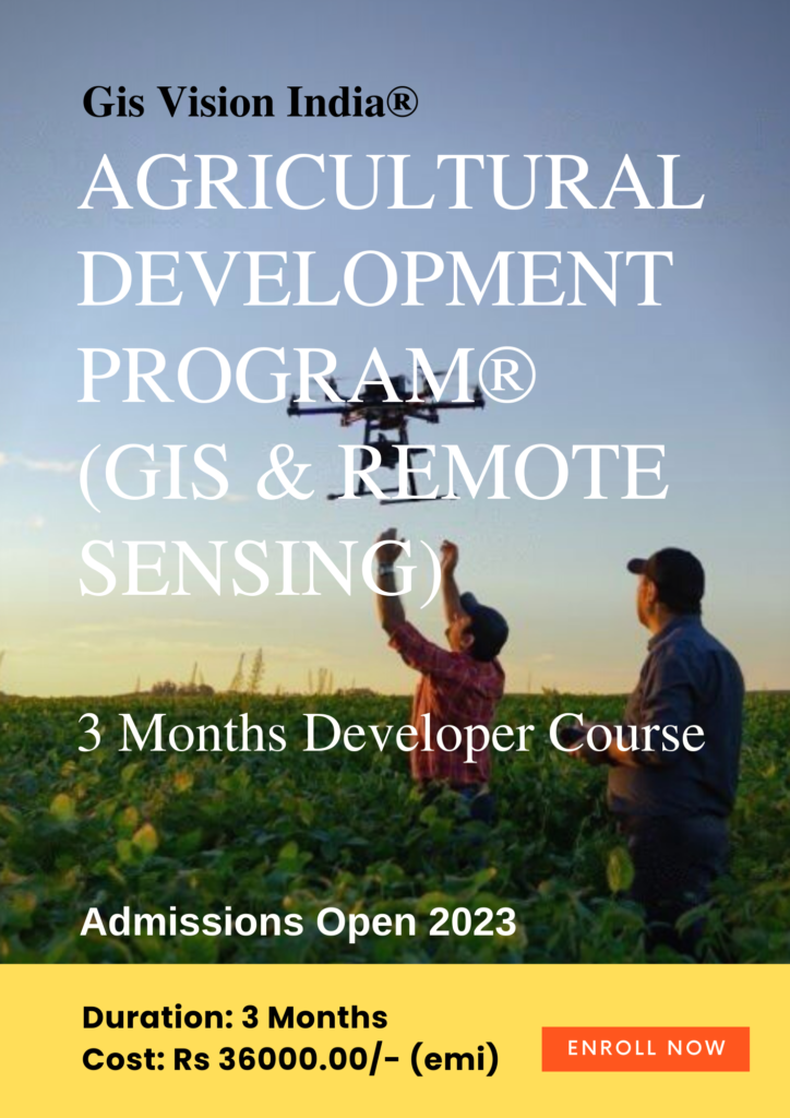
Course Intro: Learn the applications in real-time crop monitoring and targeted automated responses with drones, land use products such as Globcover map, MODIS-JRC crop mask, monitoring Agricultural Resources (MARS), USGS cropland use intensity datasets, USGS land use/land cover analysis. Learn to use multispectral and hyperspectral satellite data. MODIS for calculation of NDVI,EVI, NDWI with the help of Near infrared(NIR), Red and Blue bands for monitoring crop health and availability of water. Assimilation model using simulation of soil, water and crop process.
- Data analysis as per the work requirement
- Database management for storing and future analysis
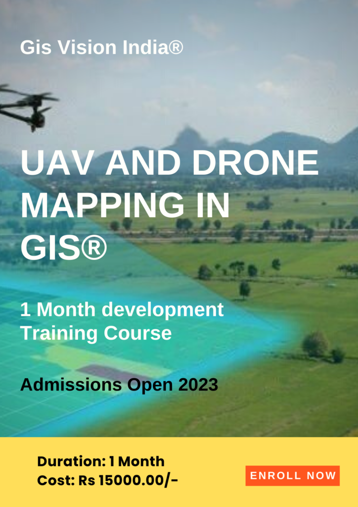
- Drone Imagery analysis.
- Point cloud data mapping
- 3D Mapping
- Volumetric Analysis
- Orthomosaic
- Image Enhancement
- Spatial Analysis