Drone mapping services are becoming increasingly popular in the field of civil engineering and GIS Vision India is a company that offers these services to their clients. Drone mapping involves using unmanned aerial vehicles (UAVs), or drones, to capture high-resolution images of a specified area, which are then processed using specialized software to create detailed maps and 3D models.
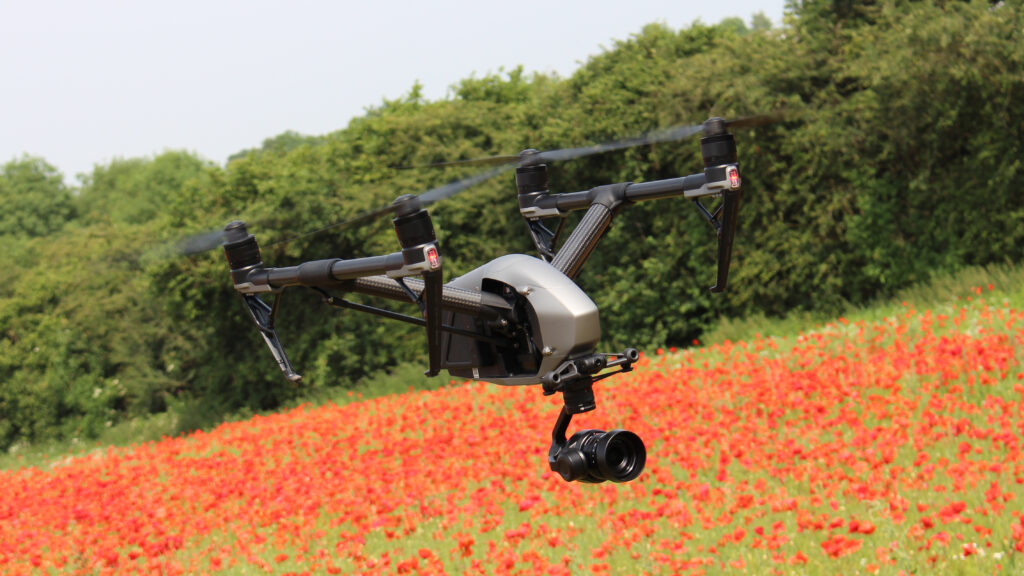
GIS Vision India uses advanced drones equipped with high-resolution cameras and GPS sensors to capture accurate and detailed images of the survey area. The images are then processed using specialized software to create highly accurate maps and 3D models that can be used for a wide range of applications, including land surveying, urban planning, construction, and environmental monitoring.
The benefits of drone mapping services provided by GIS Vision India include faster data collection, higher accuracy, and increased safety for surveyors. Drones can cover large areas quickly and safely, providing highly detailed data in a fraction of the time it would take using traditional surveying methods. This results in faster project completion times and reduced costs.
Overall, drone mapping services offered by GIS Vision India can provide valuable data for civil engineering projects, making them an ideal choice for clients who need highly accurate and detailed information for their projects. Their expertise in drone technology and GIS software ensures that the data collected is of the highest quality and can be used to make informed decisions in various areas of civil engineering.